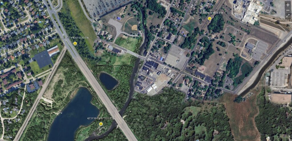
Webpage / Map Collage, 2024.
Aerial photos of locations around the world that are associated coincidentally with both violent tragedies and geocaching hides, stitched together into a single fictional city map with informational nodes for each incident.
(Best viewed on a computer or tablet.)